Hidden Falls Adventure Park Maps and GPS
I wanted to check out Hidden Falls Adventure Park (HFAP) for a few years, but I finally got to check it out last weekend. It is a pretty neat place with a wide variety of trails and difficulty levels. Everyone we ran into was friendly and the park even gives you a handy map during check in that you can also download as a pdf on their website.
Oh, wait. ... Did I say handy map?
For a first-timer, the map only gives you a rough idea of where things are. Two problems make things difficult and confusing. Not all trail entrances or intersections have signs. Also, all trails are not marked on all three maps (4x4, atv, motorcycle). When you combine these two things, it can be difficult to determine where you are on the map and which trails and intersections you're stopped in front of. Better signs and more complete maps would be one solution. Another solution is GPS, but how?
Some quick Internet searching led me to articles on GeoPDF, Geospatial PDF, and GeoTIFF. These file formats combine geo-reference information with map data. A suitable program can then translate locations in the map data with real coordinates. I came across an awesome application, PDF Maps (Android/iOS), from Avenza Systems, that can handle various geo-PDF and GeoTIFF formats and GPS. Their in-app store even has tons of free reduced-resolution USGS topographical maps, which makes things easy. Since those maps are already geo-referenced, the app can plot your current GPS position on any map you are in the area of. The best part is it can operate entirely offline, since the maps can be downloaded to your device ahead of time. I tried loading the HFAP maps, but they are not geo-referenced, so the app would have no idea where to plot your GPS location on the map.
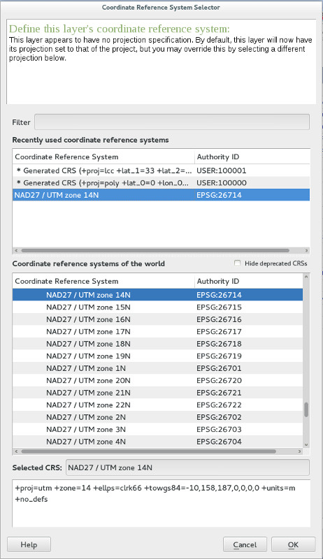
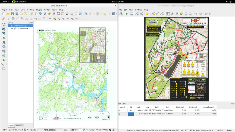
Thankfully, I came across this awesome article on how to georeference a map with QGIS, which is free and open-source software. I downloaded the Smithwick and Mormon Mill USGS topographical maps for the area, which are already geo-referenced and can be used in PDF Maps, but they do not contain any of the off-road trail information. I used these for reference since I assume the HFAP maps are based on these, but I can't be sure. Next, I geo-referenced the HFAP map using the coordinate reference system (CRS) information from the USGS maps and saved it as a GeoTIFF. Then I overlaid the HFAP GeoTIFF on top of the USGS maps to check the fit, ignoring the obvious horizontal glitch toward the bottom of the original 4x4 pdf. The results are not perfect, but I'd say they are pretty good for a first attempt and definitely good enough to be useful. I repeated the process with all three maps (4x4, atv, motorcycle). I saved them uncompressed to retain as much detail as possible.
This process left me with three GeoTIFF map files that can be used in PDF Maps or a similar application:
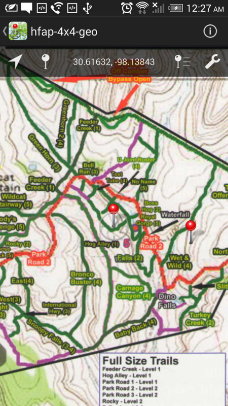
This should allow most people with a smartphone or tablet to have a pretty good idea about where they are in the park, where they are on the map, what trail they are on, what they are near, and how to get from place to place. This doesn't rely on a cellular data connection if the maps are downloaded ahead of time. Here's a reduced-resolution in-app screenshot with a couple markers dropped.
Eventually, I'd like to drop markers and record high-resolution GPS tracks on the various trails with the PDF Maps application. Those could then be exported in a format like KML and imported on top of the high-resolution official USGS topographical maps. Then the user could decide what tracks to display based on color or layer and it would be a lot more precise than the thick marker lines on the HFAP pdf. That will take time, effort, and a few more off-road adventures to accomplish though.